
Four Treasures Reference Database
Record No. 26969
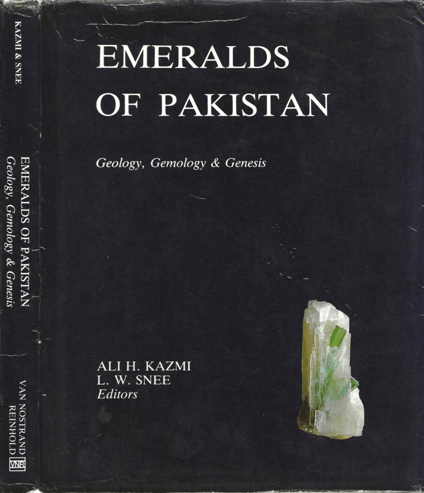
A brief overview of the geology and metallogenic provinces of Pakistan
Book Section
Snee, L.W. and Kazmi, A.H. (1989) A brief overview of the geology and metallogenic provinces of Pakistan. In: Emeralds of Pakistan: Geology, Gemology and Genesis, New York: Geological Survey of Pakistan and Van Nostrand Reinhold, pp. 1–12.
ISBN/ISSN: 9781490000000 | Sinkankas/Born No.: NIS/NIB | RWHL*
beryl, emerald, Pakistan, gems, pegmatitic emerald, emerald geology
Located strategically at the head of the Arabian Sea and surrounded by Iran, Afghanistan, China, and India, the territories that compose Pakistan today (fig. 1.1) have lain through the ages at the main crossroads between the restless and effervescent Middle East and the relatively tranquil and quiescent Far East. Vast armies ranging from the ancient Aryans, Greeks, Huns, Arabs, and Mongols have criss-crossed its domain in quest of power, glory, and the fabulous riches of the Orient. Yet the country also has been the birthplace of ancient and glorious cultures such as the Indus Valley Civilization, which dates back to over 5000 BP, and the cradle of such venerable, widespread and lasting religions as Buddhism. The country is thus endowed with rich cultural heritage equally matched with a variety of climates and exotic geographic terrains (fig. 1.1). Northern Pakistan is composed of three of the loftiest snow-capped mountain ranges of the world—the Himalayas, Karakorams (photo. 1.1), and Hindu Kush—which coalesce to form part of the southern Pamirs, the roof of the world. Tucked within these great mountains of Pakistan is the largest concentration of the tallest (above 7200 m) mountain peaks in the world including K2 (8611 m). A part of this region is seismically one of the most unstable in the world and is almost constantly quivering. These lofty mountain ranges of northern Pakistan make a series of southwest loops or syntaxial bends, and southwestward they lose their stature. Thus the western part of Pakistan comprises smaller, festooned hilly offshoots of the Himalayas in the form of arcs, oroclines, and syntaxes that bound the basin and range terrain of the Baluchistan Plateau. The lofty snow-capped mountains of the north (photo. 1.2) form the headwaters of the mighty Indus River and its tributaries. South and east of the mountains, these rivers have formed a vast, flat, and fertile flood plain and a deltaic complex at the head of the Arabian Sea (Kazmi, 1977, 1984). Eastward, the Indus Plain is flanked by the formidable Thar Desert (Kazmi, 1985). These geomorphic features reflect the geological setting which in many respects is unique in the world. Underneath the Thar Desert and the Indus Plain are concealed the platform areas of the Indo-Pakistan crustal plate. This plate was once part of the ancient supercontinent—Gondwanaland (Wegener, 1924; Athavale and others, 1970). Extensive rifting on a continental scale during the Permian (Klootwijk, 1979) dismembered Gondwanaland into several fragments ranging in size from small microcontinental blocks to large continental masses such as the African, Australian, and Indo-Pakistan blocks (fig. 1.2).