
Four Treasures Reference Database
Record No. 29135
Geological and structural position of ruby deposits in the marbles of the Central Pamirs (Republic of Tajikistan)
Journal Article
Litvinenko, A.K. and Barnov, N.G. (2010) Geological and structural position of ruby deposits in the marbles of the Central Pamirs (Republic of Tajikistan). Gornyi informatsionno-analiticheskii byulleten [Mining Informational and Analytical Bulletin], pp. 56–57.
Sinkankas/Born No.: NIS/NIB | Language: in Russian | RWHL
gems, corundum, Afghanistan.12, Tajikistan.12, spinel, ruby, Snezhnoe, Nadezhda, Trika
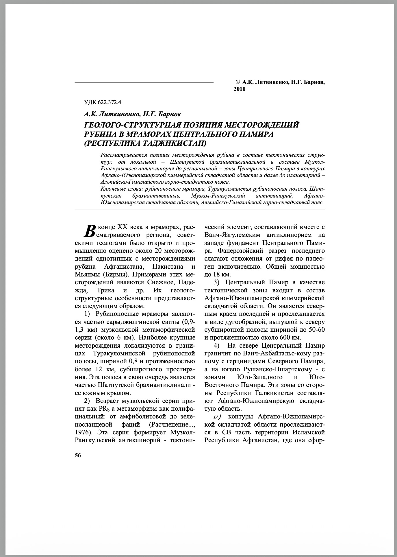
At the end of the 20th century, Soviet geologists discovered and evaluated for commercial exploitation about 20 deposits in the marbles of the region under consideration, similar in type to the ruby deposits of Afghanistan, Pakistan and Myanmar (Burma). Examples of these deposits are Snezhnoe, Nadezhda, Trika and others. Their geological and structural features are as follows. 1) The ruby-bearing marbles form part of the Sarydzhilga Formation (0.9–1.3 km) of the Muzkol metamorphic series (about 6 km). The largest deposits are localised within the Turakuloma ruby-bearing belt, 0.8 km wide and more than 12 km long, with a sublatitudinal strike. This belt, in turn, forms part of the Shatput brachyanticline—its southern limb. 2) The age of the Muzkol series is accepted as PRb, and its metamorphism as polyfacial, ranging from amphibolite to greenschist facies (Расчленение…, 1976). This series forms the Muzkol-Rangkul anticlinorium—a tectonic element which, together with the Vanch-Yazgulem anticlinorium to the west, constitutes the basement of the Central Pamirs. The Phanerozoic section of the latter consists of deposits ranging from the Riphean through the Palaeogene, with a total thickness of up to 18 km. [56] 3) The Central Pamirs, as a tectonic zone, form part of the Afghan–South Pamir Cimmerian fold region. It constitutes the northern margin of the latter and can be traced as an arcuate, northward-convex, sublatitudinal belt up to 50–60 km wide and about 600 km long. 4) To the north, the Central Pamirs border the Hercynides of the Northern Pamirs along the Vanch–Akbaital Fault, and to the south, along the Rushan–Pshart Fault, the zones of the Southwestern and Southeastern Pamirs. On the Tajikistan side, these zones constitute the Afghan–South Pamir fold region. 5) The boundaries of the Afghan–South Pamir fold region can be traced into the northeastern part of the Islamic Republic of Afghanistan, where it is formed by the Southwestern, Southeastern and Central Pamir zones extending from Tajikistan. With a width of 160 to 250 km, it extends for more than 800 km and constitutes the northern margin of the Alpine–Himalayan mountain-fold belt. 6) The geological and structural position of the Central Pamirs described above substantiates the geological similarity between the ruby deposits in marble in Tajikistan and the Jegdalek ruby deposit in Afghanistan, with which they form part of a single mineragenic structure.